The best Naviki maps to date are here!
The new Naviki maps look great and they provide numerous advantages, which we briefly present on this page. When you use the new maps as Offline Maps, you should consider our advice explained below.
You can find the new maps in the latest versions of our apps and here on the Naviki website.
Advantages of the new maps
We have developed the new maps based on advanced technologies in order to offer the following advantages, among others:
- Selection of several bicycle-specific map styles for different tastes
- Always sharp and easy to read maps, continuous zooming without loss of quality
- Automatic alignment of fonts in viewing direction
- Possibility to tilt the map by two-finger gesture (up/down)
- Optional automatic night mode
- Hill shading for the representation of mountains
- Display of contour lines
- 3D representation of buildings ("Muscle Ache" styles)
- Display of regional, national and international theme and brand routes ("Plus" styles)
- Display of bicycle route nodes ("Plus" styles) which are particularly popular in the Netherlands, Belgium and the German-Dutch border area.
- Display of MTB-Trails
- Display of numerous landmarks
If you are looking for faq on using the offline maps click here or here for a map legend.
Appearance of the New Map Styles
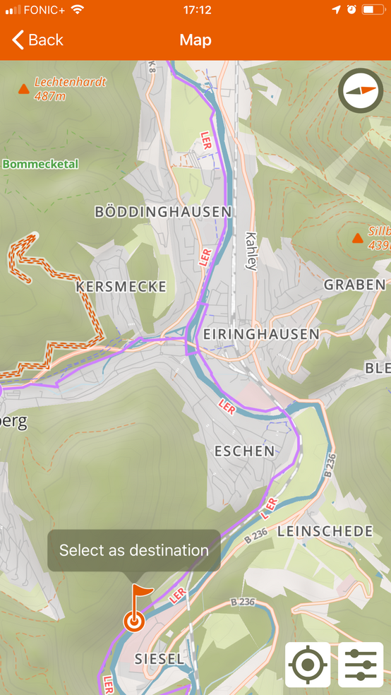
Style "Tailwind Plus"
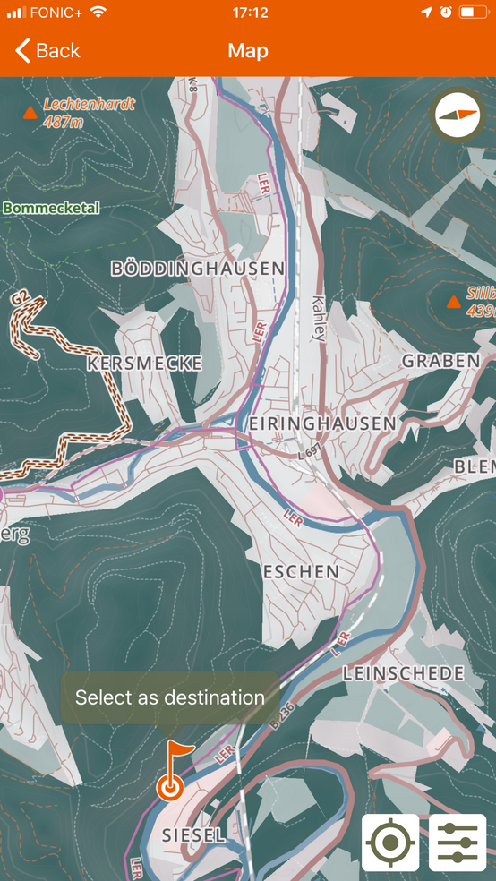
Style "Chain Oil Plus"
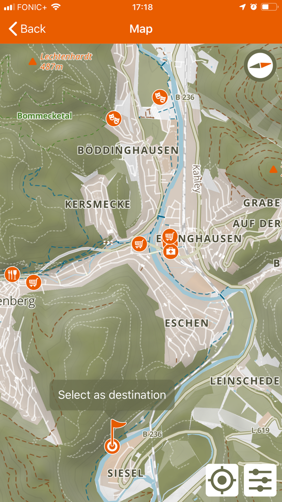
Style "Muscle Ache" with selected points of interest
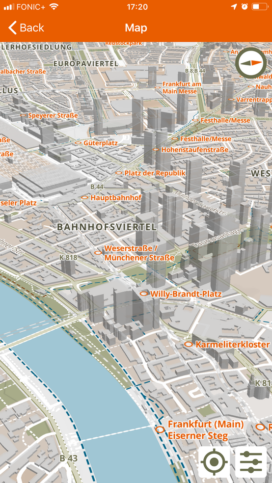
"Muscle Ache" and 3D buildings
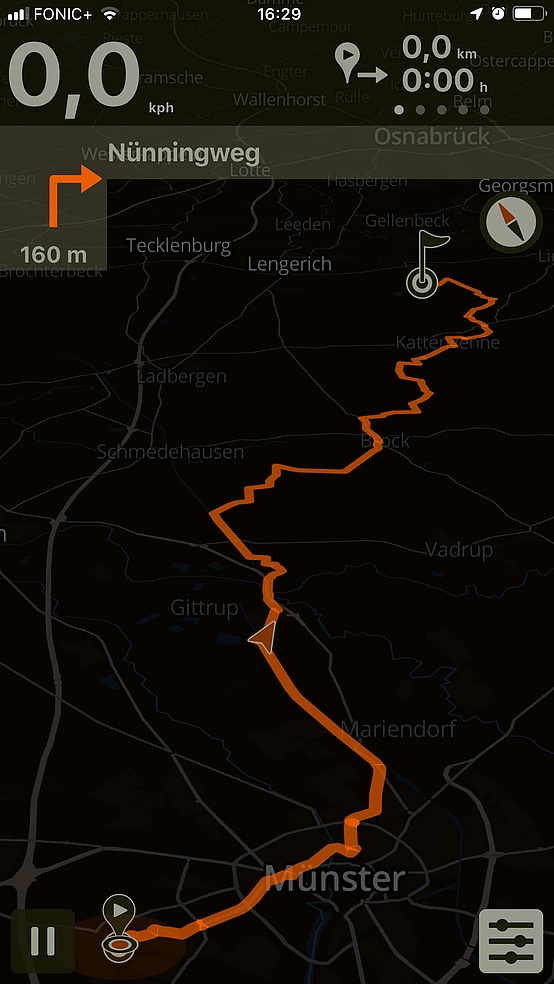
Navigation in night mode
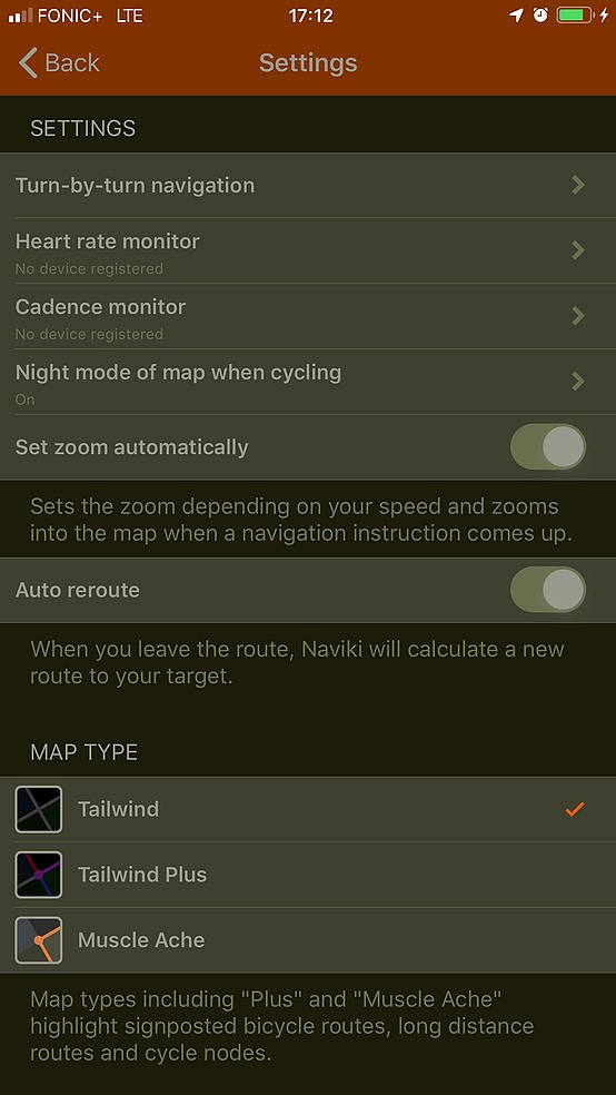
Map settings in night mode