Naviki map legend
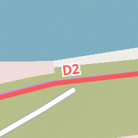
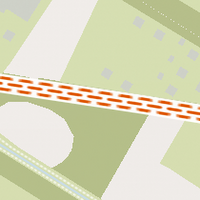
Long distance cycle route
National and international long-distance route. Example: "D2" (Baltic Sea Cycle Route)
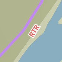
Regional cycle route
Official regional or themed cycle route. Example: "RTR" (RhurtalRadweg)
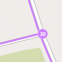
Node network
Numbered node of an official cycle route network. Example: "30" (The Netherlands, Belgium, parts of Germany)

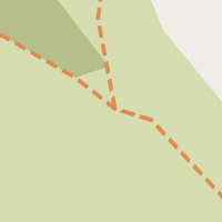
Local cycle route
Small and rather short local cycle route. Example: "OC1" (Around Ostercappeln)
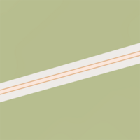
Cycle path
Path designated for cycling.
MTB trail
Designated mountain bike trail or rather rough forest and field path.
Path with unpaved ground
Mostly moderate forest and field path. Gravel and rough cobblestone are possible as well.
Local road
Ordinary small road for car and bicycle traffic.
Primary road
Mostly a major motorway.

Unclassified path
Mostly simple path or footpath. No specific information about surface and cycling permission available.